What Can Assembling a Pizza Teach Us About Strong Communities?
Keeping up with last week’s food theme, let’s use another delicious analogy for creating great, financially resilient places. Last time was sweet. Today I’ll go savory.
Figure 1. Click to view larger image. (Source: Urban3)
Joe Minicozzi, principal at Urban3, is from New York and likes pizza, so he uses the following example to talk about development patterns. Consider the main ingredients for pizza: pepperoni, sauce, cheese and dough. By themselves, they are not very valuable. Try taking one ingredient out—say, the cheese—and both the cheese and remaining ingredients decrease to an even lower value by being isolated. However, if you organize the ingredients and put them in the oven, you have a pizza. The product is more enjoyable and more valuable than the sum of its parts. And the best part? We can now divide up the end product and still have something of value. One slice of pizza can stand on its own, and the remaining pie is still a delicious pizza.
This is a useful analogy for thinking about development. The main ingredients of a city are civic buildings (think schools, libraries, and government facilities), housing, commercial retail, and parks and infrastructure. Individually, they have relatively low value. When separated, their value is much lower than its potential; think about a strip mall standing alone. This is the result of functional zoning, or Euclidean zoning—a type of land-use regulation that separates development by its function.
Figure 2. Click to view larger image. (Source: Urban3)
On the other hand, when we organize these ingredients by arranging all four in a balanced, mixed-use development pattern, we suddenly have created a more enjoyable and valuable place. And just like a slice of pizza, when we look at a smaller piece of mixed-use development—for example, a neighborhood with its own main street—it maintains value since it can stand alone. One slice of pizza is like a community and the whole pie is a city. The slice has all the same ingredients, just at a smaller scale.
A City of Communities, not a City of Zones
Joe’s pizza analogy is not entirely unique. It’s adapted from Leon Krier, a Luxembourgish architect who has long been known for cleverly simple examples that support traditional development and New Urbanist principles. Krier’s version of the pizza analogy uses a quiche. He uses this and several other metaphors to critique zoning and American development patterns, arguing for a “city of communities” as opposed to a “city of zones.”
In his book, Houses, Palaces, Cities, Krier provides several illustrations which demonstrate the shortcomings of functional zoning and emphasize the importance of communities.
Figure 3. Click to view larger image. (Source: Houses, Palaces, Cities by Leon Krier)
The “Motorized Traffic” illustration (Figure 3) may be exaggerated, as are all of these sketches, but it has truth. Anyone living in the suburbs and working in the city has experienced the effects of zoning on traffic. In fact, if you’ve ever thought something like “I need to beat rush hour,” you have experienced the pain of the “city of zones.” This is the natural outcome of a city that takes the form of large, separate collections of ingredients—houses over here, shops and offices over there—as opposed to a pizza containing slices of each ingredient. This is particularly an issue in cities dominated by automobile transportation which is, unfortunately, most if not all American cities.
Figure 4. Click to view larger image. (Source: Houses, Palaces, Cities by Leon Krier)
“The Sexes in the Anti-City” ( Figure 4) demonstrates how the same thing also affects our social behavior and causes segregation. Krier shows how this development of the “anti-city” can separate men and women during the day. Published in 1982, this illustration today reflects an outdated assumption about gender roles: that men are commuters and women are homemakers. My intention, though, is to highlight what is relevant about this sketch. The “anti-city” separates people by their status, lifestyle and occupation. Krier suggests that this leads to “social isolation”, “futile consumptions” and “disintegration” among other negative side effects. We can also look as groups of people as ingredients in a city. Institutional segregation is a byproduct of poor functional zoning.
Figure 5. Click to view larger image. (Source: Houses, Palaces, Cities by Leon Krier)
“The Idea of ‘Zoning’” (figure 5) uses a nutrition metaphor to evoke the effects of rigid functional zoning. After seven days of eating the entire weekly amount of a different food category each day, the “individual [is] deceased.” It is clearly unhealthy to consume only liquids one day, only meat the next and so on.
Perhaps this is dramatic, but it drives the point that functional zoning harms the health of cities. Separating uses by more than walking distance prevents residents from walking to work, restaurants, or shops and forces the patterns in traffic and time spent shown in the first two illustrations.
It also, however, affects the patterns we see in the financial productivity of our places.
A City of Communities: Multiple Value “Spikes”
Figure 6. Click to view larger image. (Source: Urban3)
Urban3 has analyzed property values in many cities and seen the clear economic difference between cities comprised of communities and of zones. Finding a textbook example of the “city of communities” in the US is discouragingly difficult, but there are some decent examples out there. Just one is the home of Urban3: Asheville, North Carolina.
This Western North Carolina city has undergone growth in the last couple decades which has largely taken the usual North American form: single-family housing suburban development and stroads. Even so, several “pizza slice” communities outside the central hub of Downtown Asheville demonstrate that when you have all the necessary ingredients, you create more value.
Biltmore Village
Downtown Asheville is easy to find, so let’s focus on the other smaller communities. In this land value per acre (VPA) map of Asheville, the most prominent spike besides downtown is Biltmore Village. As the name suggests, this village was built at the entrance to the Biltmore Estate at the end of the 19th century. Although many of the historic houses have been turned into some of the finest restaurants and shops in Asheville, some homes and condos remain. With a large hotel and close proximity to both the Biltmore Estate and downtown, this is a very tourist-centric community. Even though the ingredients are a little out of balance, this community is successful at creating a mixed-use, walkable and resilient place.
West Asheville
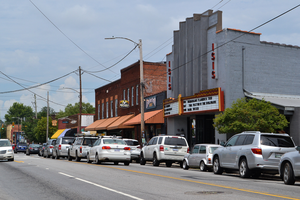
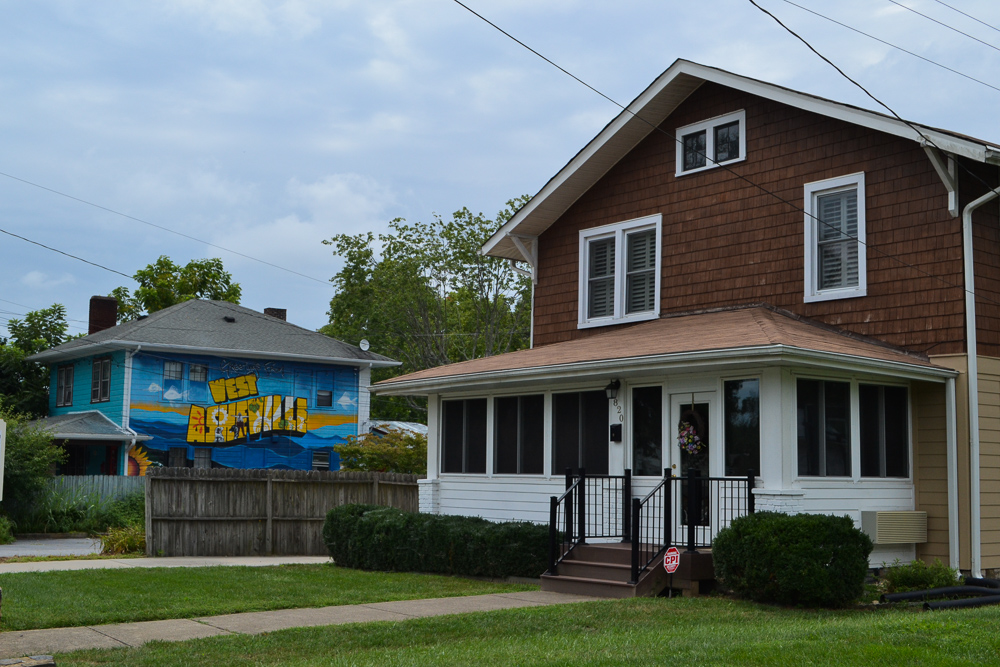
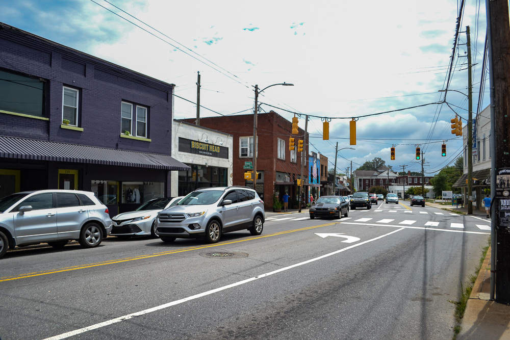
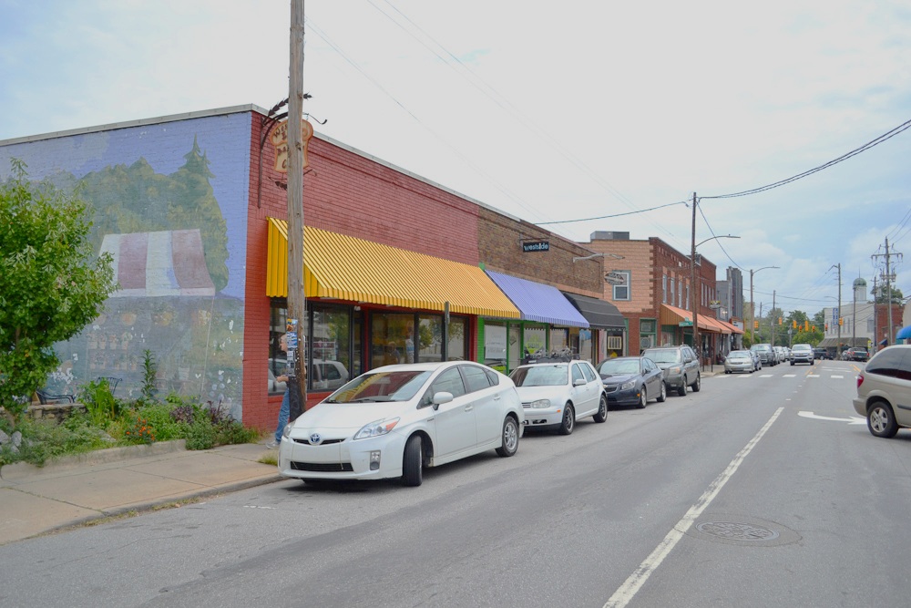
Just southwest of Asheville is West Asheville. Though difficult to see with other city property behind it, moderate spikes in VPA can be seen around Haywood Road, the main street through this community. This neighborhood is known for great local restaurants, shops and a very distinct character. Residential streets branch off of Haywood, allowing many to reach the action by foot. With a grocery store, many other retail shops and places of worship, this truly is a self-sustainable community.
Biltmore Park Town Square
The last community is by far the youngest. Biltmore Park Town Square (named for the same Biltmore as the Village) is a New Urbanist development built in the midst of a large single family neighborhood. Apartments and condos sit above shops and restaurants. Also in the town square are a movie theatre, fitness center and hotel. Although it has a more modest land VPA than the downtown or inner neighborhood centers that have had far longer to develop, this community nonetheless stands out on the VPA map of Asheville.
Each of these is far from a shining example of walkable urbanism, but they do each have the necessary ingredients of a mixed-use “pizza slice” community, and it shows in their value.
Now, let’s compare Asheville to a city which is comparable in many ways, but does not have such cohesive communities within it. This amplifies the benefits of one development pattern over the other.
John’s Creek, Georgia: A “City of Zones”
Figure 7. Click to view larger image. (Source: Urban3)
John’s Creek, Georgia is a suburb that sits about 25 miles northeast of Atlanta. As Figure 7 shows, it is similar in population to Asheville. Due to occupying a smaller geographic area, John’s Creek actually has a significantly higher overall population density. The values, however, tell us that simple density is not enough to create concentrated value.
Single-family home subdivisions connected by stroads dominate the composition of John’s Creek. Few of its streets offer much walkability or a distinctive sense of place. A Google Maps street view image below shows the most productive property in John’s Creek in terms of tax value per acre (VPA), which sits at the northern edge of the city, as seen from the adjoining highway. This cluster of strip malls and big box retail stores is it, with only about 1/7 of the VPA of Asheville’s most productive property. This kind of disconnected development is no substitute for a true downtown.
Sure, this is not a direct comparison: Asheville is older and, being situated in the Blue Ridge Mountains, has an attractive geographic setting. However, these cities are similar in their American suburban character typical of the Southeast, and yet their completely different development patterns correspond to quite different patterns of land value. Just about every city will have the key ingredients to a city we listed above, but if they aren’t appropriately organized, a city is likely coming very short of their potential financial value, as well as lovability or sense of place.
We can map current property values, but time will be the real test for these cities. (This is where the pizza analogy fails us: if only pizza were somehow naturally preserved far longer than its uncooked ingredients.) Mixed-use communities have a built-in source of resilience: their ability to accommodate a shifting variety of activities means they can evolve and grow along with the community. The strip malls and big-box retail buildings of John’s Creek, on the other hand, may be unable to fit community needs as those needs change.
The fact is, Asheville has already passed the test of time. With multiple communities—not just downtown—dating back to the late 1800s and still doing well, it makes the case for the pizza (or quiche) analogy. When you mix basic ingredients the right way, you create something that is more enjoyable, more valuable, and the kind of place that can continue to be both of those things for centuries.

Robert Sulaski is an intern with Strong Towns and the geoanalytics firm, Urban3, for the summer of 2019. Rob is pursuing an undergraduate degree from the University of North Carolina at Chapel Hill (UNC) in Media and Journalism, concentrating in Interactive Multimedia, with a minor in City Planning and Urban Studies. Growing up in the Asheville area has given him a love for the outdoors, southern hospitality and good beer.
Rob is a storyteller at heart with a passion for exciting, walkable communities. With previous digital communications experience, he is excited to use these skills in the context of planning. Prior to joining Strong Towns and Urban3, he studied in Pamplona, Spain where he found an even deeper appreciation for urbanism and also produced a study abroad/travel podcast, sharpening his storytelling skills. He will be writing about Urban3’s work throughout summer 2019 before returning to UNC for his senior year.